Growing up in the L.A. area, I know all the roads mentioned above.
Chantry Flats road hasn't been mentioned, and it is a spectacular drive.
Having keys to all the Forest Service gates in the Angeles National Forest, I've driven the dirt Mt. Wilson Toll Road many times. It probably wouldn't be a great road at this time of year. It is too steep, not paved, and the latest forest fire virtually guarantees it will be impassable, except by foot or horse.
The paved mountain roads of Southern California were built in the 1930's for the old Model T's and A's. At that time, 30 mph was the speed limit, people would pack a lunch, the family would hop into the car, and their adventure might include a stop along the way for a hike and/or a picnic.
Malibu Canyon Road, on the west side of Los Angeles is a popular destination.
The last time we ran that road, as DTM GTI will tell you, we were in the company of Ferraris, etc. and posted the videos to prove it.
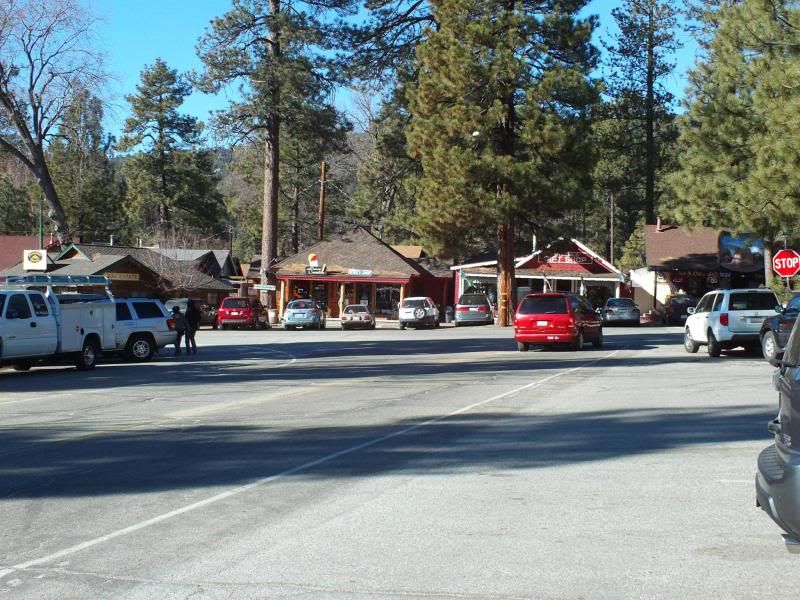
The problem with that Road is its location. You have to traverse several highly populated Valleys:
-San Bernardino
-Pomona
-San Gabriel
-Los Angeles
(you get the idea).
We picked the right time to run that road: Summer and ended our run on the coast, overlooking the Pacific as the sun set into the Ocean. It gives you some time to reflect upon Nature.
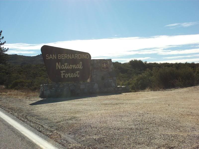
The Banning-Idyllwild Panoramic Highway is almost as high in altitude as the Angeles Crest Highway.
As we approach December, you will want to take that into consideration. Lower altitude = less freezing temperatures outside the car.
During the Spring and Summer, the Angeles Crest Highway is THE destination for motorcycles and can provide an exhilarating experience for the most seasoned of bikers.
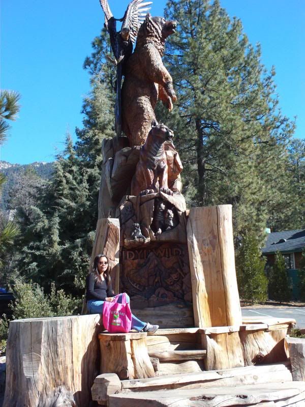
As this potential gathering is a little closer to Winter, a run from the warmer desert floor, up to the 5,000 foot Idyllwild/Pine Cove area can be a great compromise.
(Those in Denver can appreciate Idyllwild, as it is about the same altitude.)
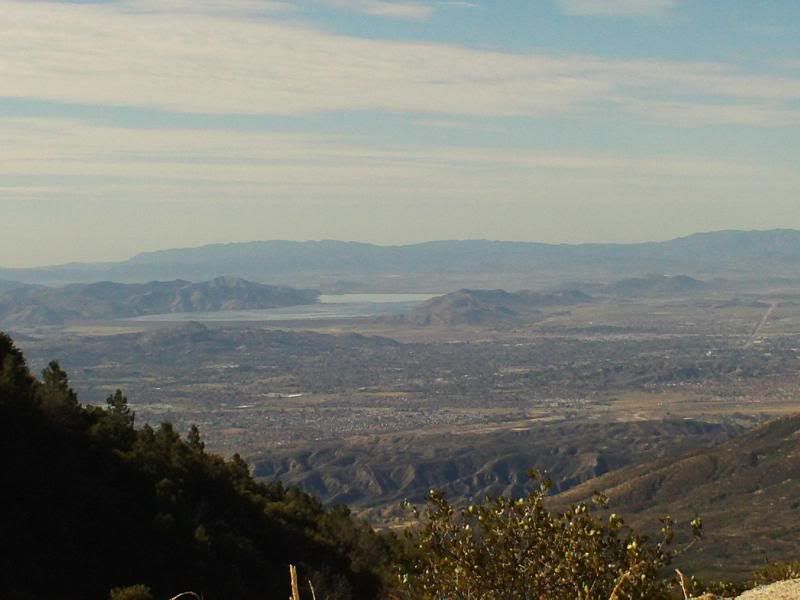
Highway 243 began as a foot, then horse, wagon, and finally Model T road with many turns. Once you get up the switchbacks, you get a great view of the Mountain Pass area and the road unwinds a bit. It doesn't get the publicity like the Crest Highway as it is further from Hollywood.
About 20 minutes into your trip, there is Lake Fulmor which has maybe 15 parking spaces and several picnic tables. It is small and quiet and a good place to catch some nature, check your oil, or stretch your legs. Try finding it on Google Maps.
Back to wizewun's suggestion of a scenic loop:
(Banning/Idyllwild/Palm Desert)
According to Google maps, 67 miles or about an hour and a half.
If you are into tuned suspension and hard driving, that loop can give you a hair raising ride, comparable to the Angeles Crest Highway/Azusa Canyon (Highway 39) loop, especially if you want to 'hammer down'.
When you drop back to Palm Desert, there are some high end malls and warmer air.
You'll remove your jacket and settle for a tee shirt.
It is an excellent suggestion.
Teamswift member deebee used an MK1 and did this loop a while back.
Maybe he could chime in.
If you were adventurous, the road also winds South all the way to
San Diego and is freshly repaved in several parts. Along the way are
-trendy back woods Casinos
-Wineries
-road side fruit and vegetable vendors
-gliders
http://www.skysailing.com/Again, this is a scenic route and sparsely settled.
Your cell phone may or may not have coverage.
These roads are safe and fun if you keep the rubber on the road.
No matter which road you decide, make sure your car has no major oil or coolant leaks.
It is a long way to the nearest service station.
And bring your camera...